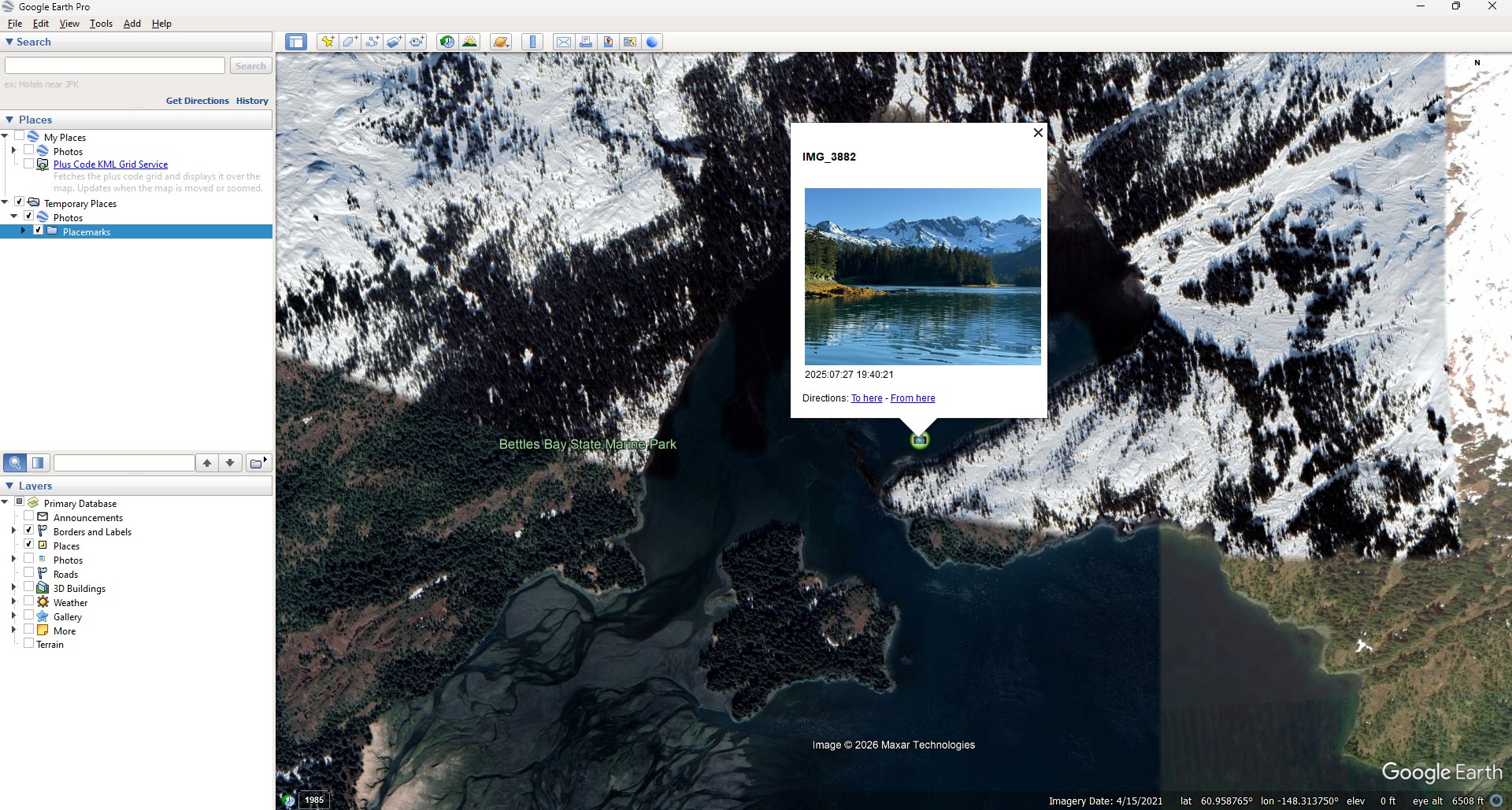
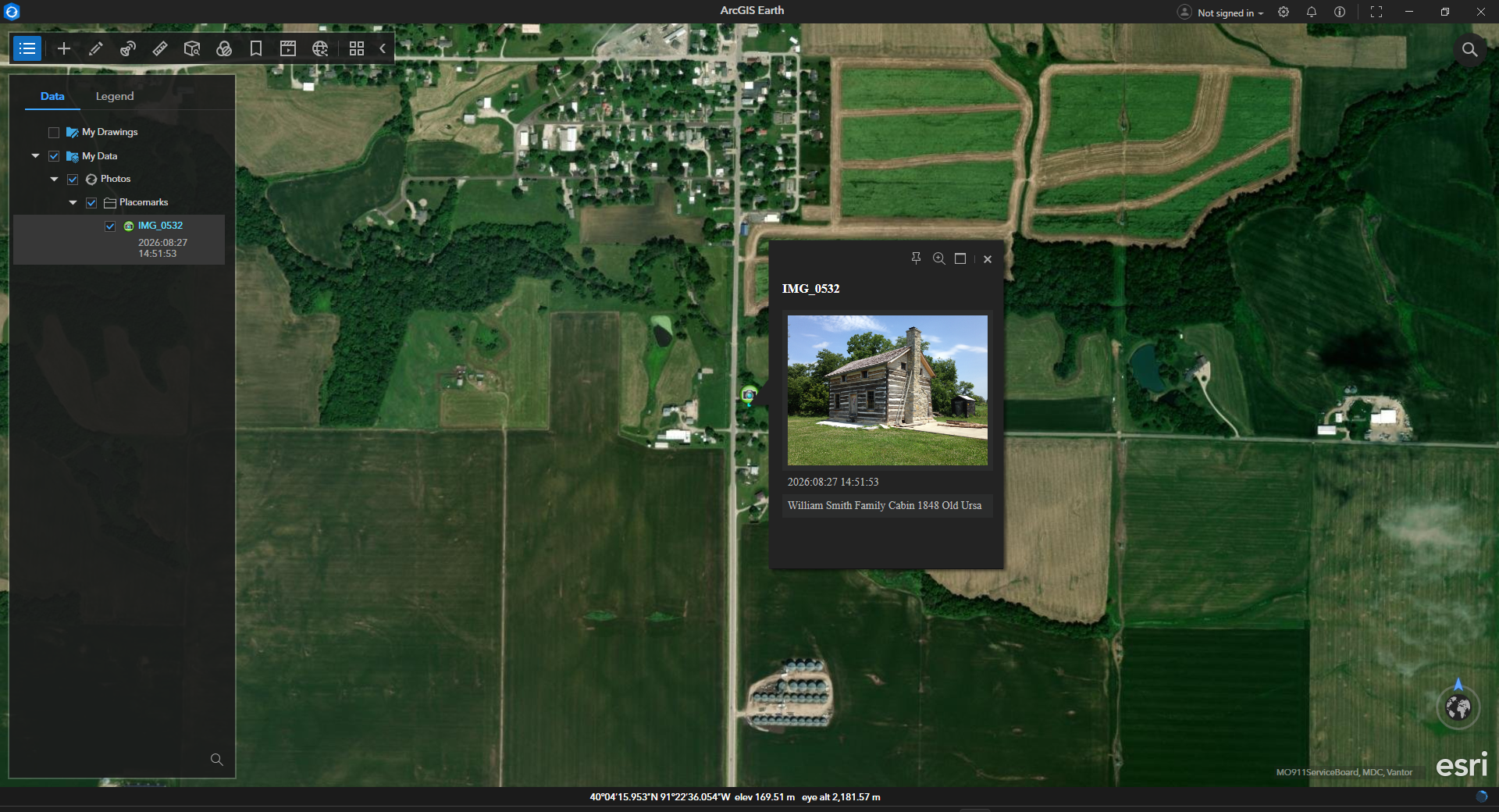
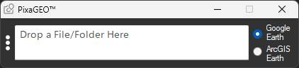
A task-specific Windows application to view your photo locations in Google Earth or ArcGIS Earth. Just drag and drop a file or folder into PixaGEO, which is uniquely simple in design and use.
Simply drag and drop a geotagged file or folder into PixaGEO.
Google Earth does not recognize a JPEG photo’s Exif orientation value, so vertical image thumbnails will not appear upright. ArcGIS Earth does recognize and obey this value for proper orientation. Neither will display thumbnails of HEIC or DNG photos, or videos; only their location placemark.
PixaGEO’s menu offers an option to generate and name KML files from dropped files or folders, without viewing their locations.
FYI — Google Earth Pro on desktop will no longer be available for download beginning June 25, 2027. If you’re an existing user, or download the app before June 25, 2027, you can continue using Google Earth Pro on desktop past that date. Download directly from Google.
Download ArcGIS Earth Desktop directly from Esri. This installation places ArcGIS Earth in a directory where PixaGEO can find it. Do not download ArcGIS Earth Desktop from the Microsoft Store, which installs it in a protected and hidden folder.
SECURE — Photos never leave your computer. PixaGEO is for offline (i.e., local) photo viewing only.
PixaGEO Installer.zip (Box™ secure file sharing) This is the sole authorized source for PixaGEO. Please do not download unauthorized redistributions from other sources. Windows 11 and 10 (64-bit) compatible Free for personal or commercial use. Modification, redistribution or sale is prohibited.
Please contact me with any questions you may have about PixaGEO.
Michael (Mike) Lee Professional background: USGS, USACE, NCIBRD
PixaGEO is dedicated to my daughter, Etta, who chose its name. Etta is autistic, and is quite an expert in world geography and languages. She was awarded a medal from the National Geographic Society for her geography skills.